Trimble SiteVision
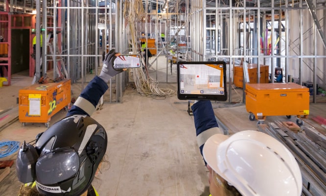
SiteVision is a high-accuracy augmented reality system that runs on your AR-supported Android mobile device using the Trimble SiteVision Integrated Positioning System and subscription-based services. Transform complex data into simple and clear visualizations that give context to critical information on the jobsite.
Additional Resources:
Applications & Specs
Reporting
Take augmented reality photos and quick measurements, and add notes to create tasks, report status, request clarifications, and share or assign them with project members, all in real time.
Model Positioning
Georeferenced models can be automatically or manually positioned and adjusted with incredible ease and accuracy relative to property boundaries and other critical points on-site.
Visualization Tools
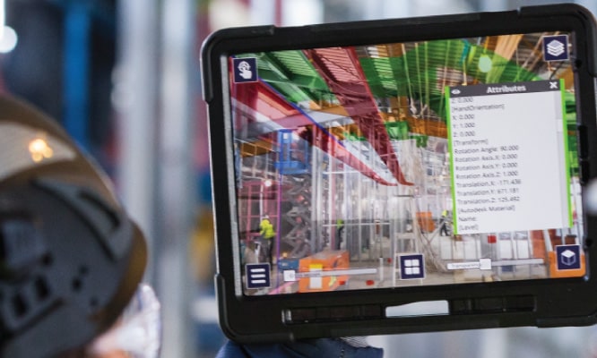
Toggle between 2D and 3D views, adjust transparency for real-world design comparisons and see detailed, fully textured models to easily communicate the visual impact.
Data Support
SiteVision supports BIM models: .SKP, .IFC, and .DWG formats via Trimble Connect, including rich attribute support for data in .IFC and .SKP formats.
Key Features & Benefits
Trimble’s SiteVision offers many features for your construction project, including:
- Lightweight, portable, handheld or pole-mounted unit.
- Accurately places and displays 2D/3D data in real world context from any angle at true-to-life scale.
- Combines Trimble® CatalystTM GNSS centimeter-level positioning and electronic distance measurement (EDM) with Google® AR technology.
- Automatically transforms complex 2D designs into visual 3D models.
- Provides Trimble cloud-based data hosting and reporting tools.
- Enables collaboration and communication of designs on the job site.
- Compatible with a wide range of Trimble, open industry standard, and third-party file formats.


