What is 3D Laser Scanning?
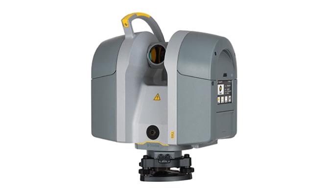
3D laser scanning is a technology that utilizes lasers to capture highly accurate and detailed three-dimensional representations of physical objects or environments. It helps create precise digital models that can be used in various industries, including construction, architecture, and manufacturing. If you need a 3d laser scanner for construction or other projects, explore our inventory to find the solution for you.
What are the Benefits of Laser Scanning?
The benefits of using a construction 3D scanner include enhanced precision, time savings in data collection, and improved project efficiency. Laser scanning facilitates accurate documentation, minimizes errors in design and construction, and allows for better-informed decision-making throughout a project lifecycle.
Are There Different Types of Laser Scanning?
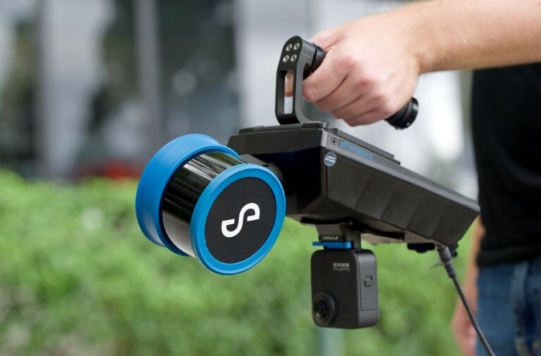
Yes, there are various types of laser scanning techniques suited for different applications. Common types include terrestrial laser scanning, which is ground-based and captures detailed data of structures or environments. If you are looking for 3d laser scanning equipment for buildings, terrestrial laser scanning is the right choice for you. There is also mobile laser scanning, often mounted on vehicles for capturing large areas. Lastly, there is aerial laser scanning, utilizing drones for broader landscape surveys. The choice of laser scanning type depends on the project requirements and the desired level of detail and coverage.
3D Laser Scanners For Construction
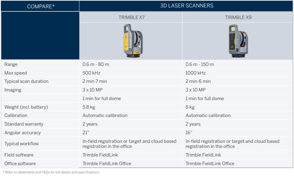
Make the most of advanced scanning solutions from Trimble. These products are designed to simplify complex jobs, connecting the digital and physical worlds to keep you moving forward.
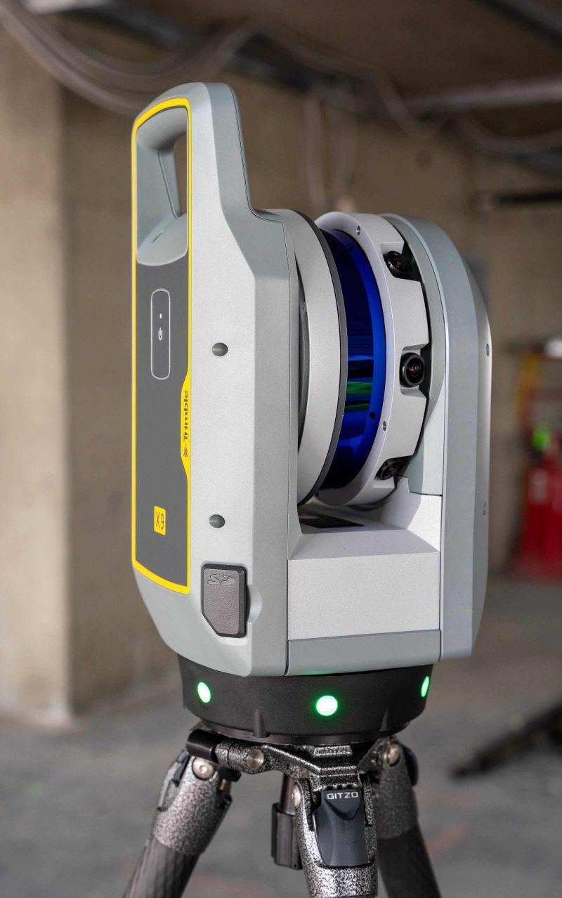
Trimble X9 3D Laser Scanner
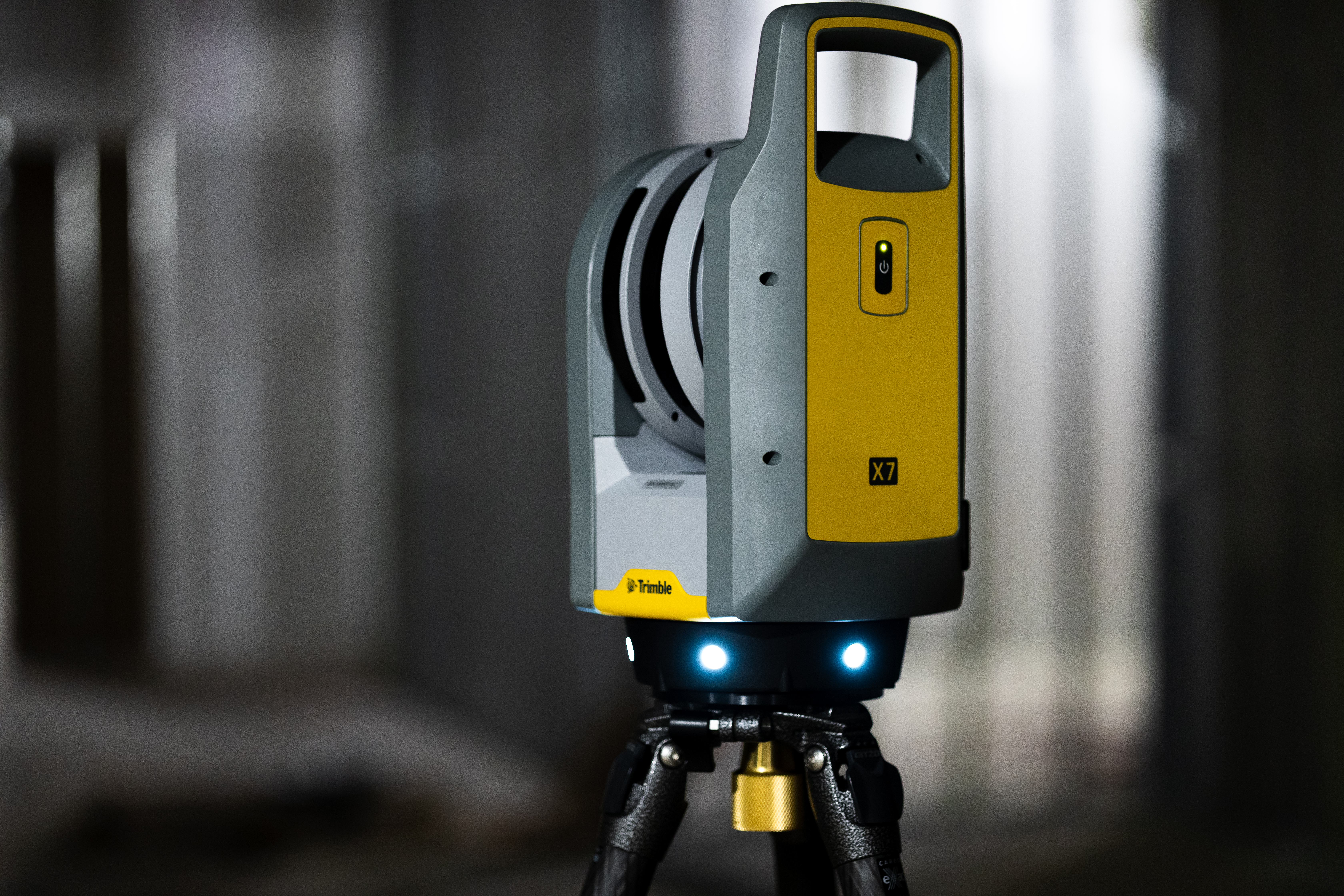
Add simplicity to your operation with the Trimble X9. This lightweight 3D scanner for construction optimizes productivity and supplies exhaustive data within minutes. Control this system from your tablet or with the push of a button on the scanner itself.
Create detailed plans before breaking ground and share your point clouds with clients for progress and status updates. The Trimble X9 is part of an ecosystem that work together to seamlessly enhance your on-the-job performance and help you exceed client expectations.
3D Scanning Software Solutions
Combine cutting-edge technology with sophisticated software to support your work.
Trimble FieldLink
Refine your procedures and workflows into a singular, easy-to-use platform with Trimble FieldLink. This software is the optimal way to run the scanner in the field and offers an intuitive interface that allows for customization and unique modular feature packs that ensure you have the essential capabilities for all your reality capture tasks.
Your team will maintain complete visibility over your 3D models with access to all captured data from the field. FieldLink offers a streamlined data exporting process to desktop applications like RealWorks or CAD.
Trimble FieldLink is not only the ideal field layout technology to effectively connect your office to the field, but it is also the same software to bring data from the field back to the office. Whether scanning wet concrete, excavation lines, property boundaries, or underground piping, FieldLink helps get information quickly where it needs to go in order to keep your project moving.
Trimble RealWorks
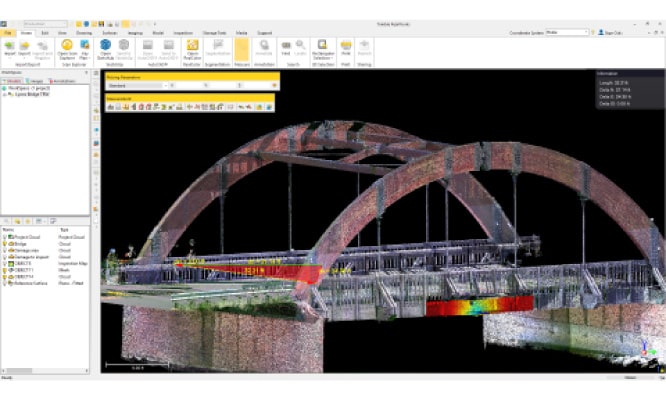
The Trimble RealWorks point cloud processing and analysis software puts the finishing touches on your 3D capture process. With top-of-the-line software, your team can easily explore, analyze, manage large data sets and create deliverables. Share access to your workflow with the entire team and export models into Tekla, ShetchUp, AutoCad or Navisworks for quick implementation.
This automated tool was made specifically for point cloud processing, offering the support you need within many applications.


